DATE IMPORTED:
19 June, 2015
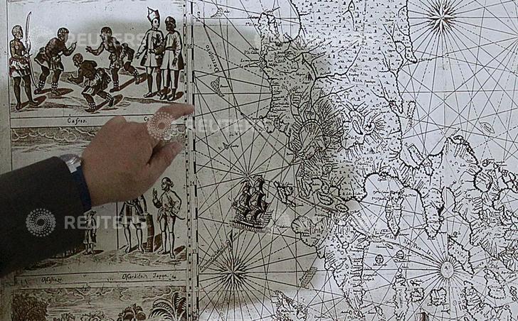
A shadow of Filipino businessman Mel Velarde is cast upon a replica of a 1734 map he bought at an auction in London, which shows the Scarborough Shoal as part of the Philippine territory under Spanish rule during a Reuters interview in Manila June 19, 2015. A nearly 300-year-old map of the Philippines showing islands in disputed waters hopes to boost the country’s claim in the South China Sea, Velarde said on Tuesday. The map, published in 1734 by Spanish priest Pedro Murillo Veralde, showed Scarborough Shoal, located around 124 nautical miles from the island of Luzon and labeled as “Panacot” in the map , as part of the Philippines territory. The original map was still in London for safekeeping, but a certified true copy was submitted to the Philippine government when it requested copies of historical maps for its UN arbitration case against China in The Hague. REUTERS/Romeo Ranoco
Source: http://pictures.reuters.com/archive/GF10000133071.html


