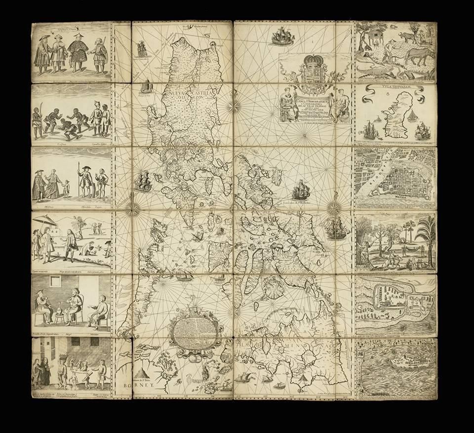
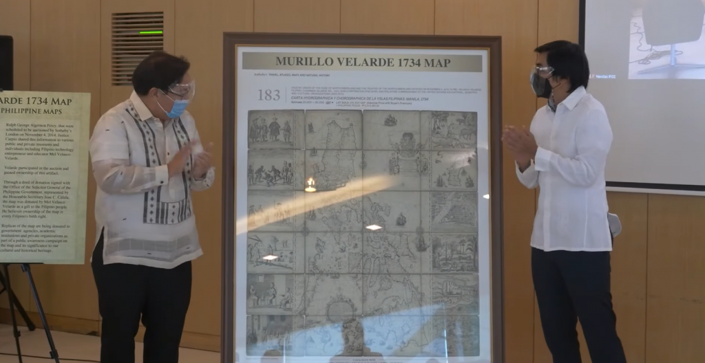
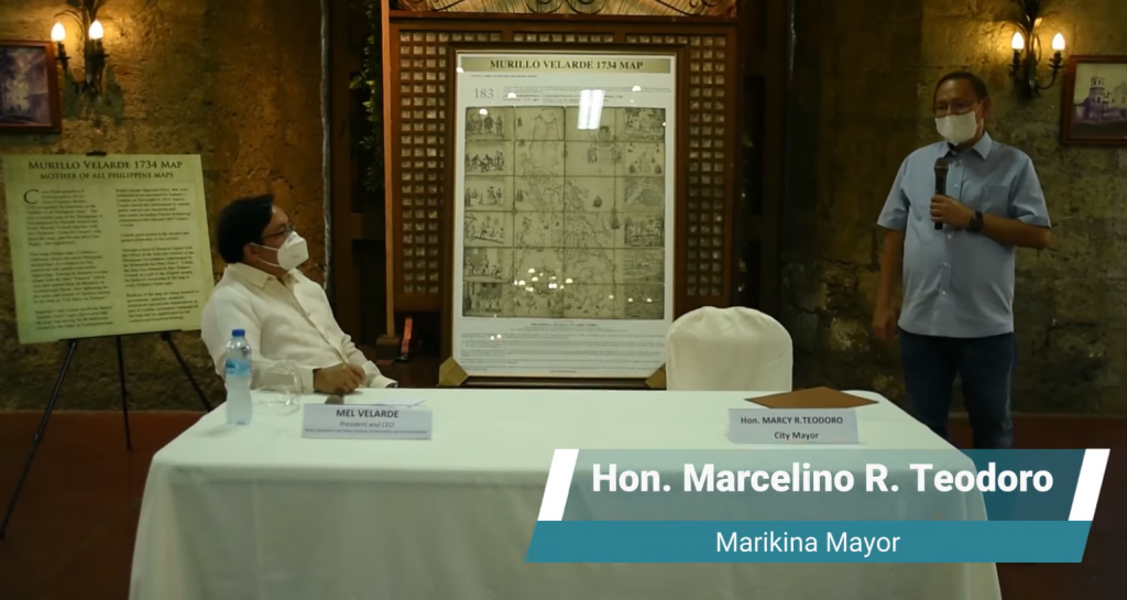
The Murillo Velarde’s map of the Philippine archipelago is a landmark in the depiction of the islands, and the first scientific map of the Philippines. It is flanked by two pasted-on side-panels with twelve engravings, eight depicting native costumed figures, a map of Guajam (Guam) and three city or harbour maps, notably Manila.
“So important is Pedro Murillo Velarde’s map to Philippine cartography, so neat is the engraving and so faithful are the illustrations, that in all likelihood it will continue to be reproduced periodically in the years to come” -Quirino.
http://www.sothebys.com/en/auctions/ecatalogue/2014/travel-atlases-maps-natural-history-l14405/lot.183.html
Pedro Murillo Velarde was born August 6, 1696, at Villa Laujar, Granada, and entered the Jesuit novitiate at the age of 22. Having entered the Philippine missions, he was long a professor in the university of Manila; and later was rector at Antipolo, visitor to the Mindanao missions, and procurator at Rome and Madrid. He died at the hospital of Puerto Santa Maria, November 30, 1753. Murillo Velarde is one of the more noted among Jesuit writers. His principal works are the following: Cursus juris canonici, hispani et indici (Madrid, 1743); Historia de la provincia de Philipinas de la Compañia de Jesus (Manila, 1749); and Geographica historica (Madrid, 1752), in ten volumes. In the Historia (which work we have used freely in the present series, as material for annotation) was published his noted map of the Philippine Islands, the first detailed map of the archipelago; it was made by order of the governor of the island, Valdes Tamón, in 1734.
http://www.philippinehistory.net/views/1738murillo.htm
This website is an advocacy to preserve the value of Murillo Velarde Map and its history, and to serve the Filipino people and the next generation to come.