Updated 20:34 PM PHT Mon, June 8, 2015
300-year-old map to boost PH case vs China – Palace

MANILA – Malacañang said that the submission of a 300-year-old map to the international tribunal will boost the case of the Philippines in questioning China’s territorial claim over the South China Sea.
Presidential spokesperson Edwin Lacierda said the Philippines has “a strong case.”
“Let me just emphasize the fact that China never participated, in fact, refused to participate in the arbitration in the [International Tribunal for the Law of the Sea]. However, China’s claim is about historical title. This old map would certainly present the side of the Philippines when it comes to any historical basis,” Lacierda said.
Source:http://www.abs-cbnnews.com/nation/06/08/15/300-year-old-map-boost-ph-case-vs-china-palace
By: Ellen T. Tordesillas, VERA Files
June 7, 2015 5:01 PM
InterAksyon.com
The online news portal of TV5
MANILA – The Philippine government will be submitting to the United Nations Tribunal on the Law of the Sea in The Hague this week an almost 300-year-old map of the Philippines showing the disputed Scarborough Shoal being part of Philippine territory as far back as three centuries ago.
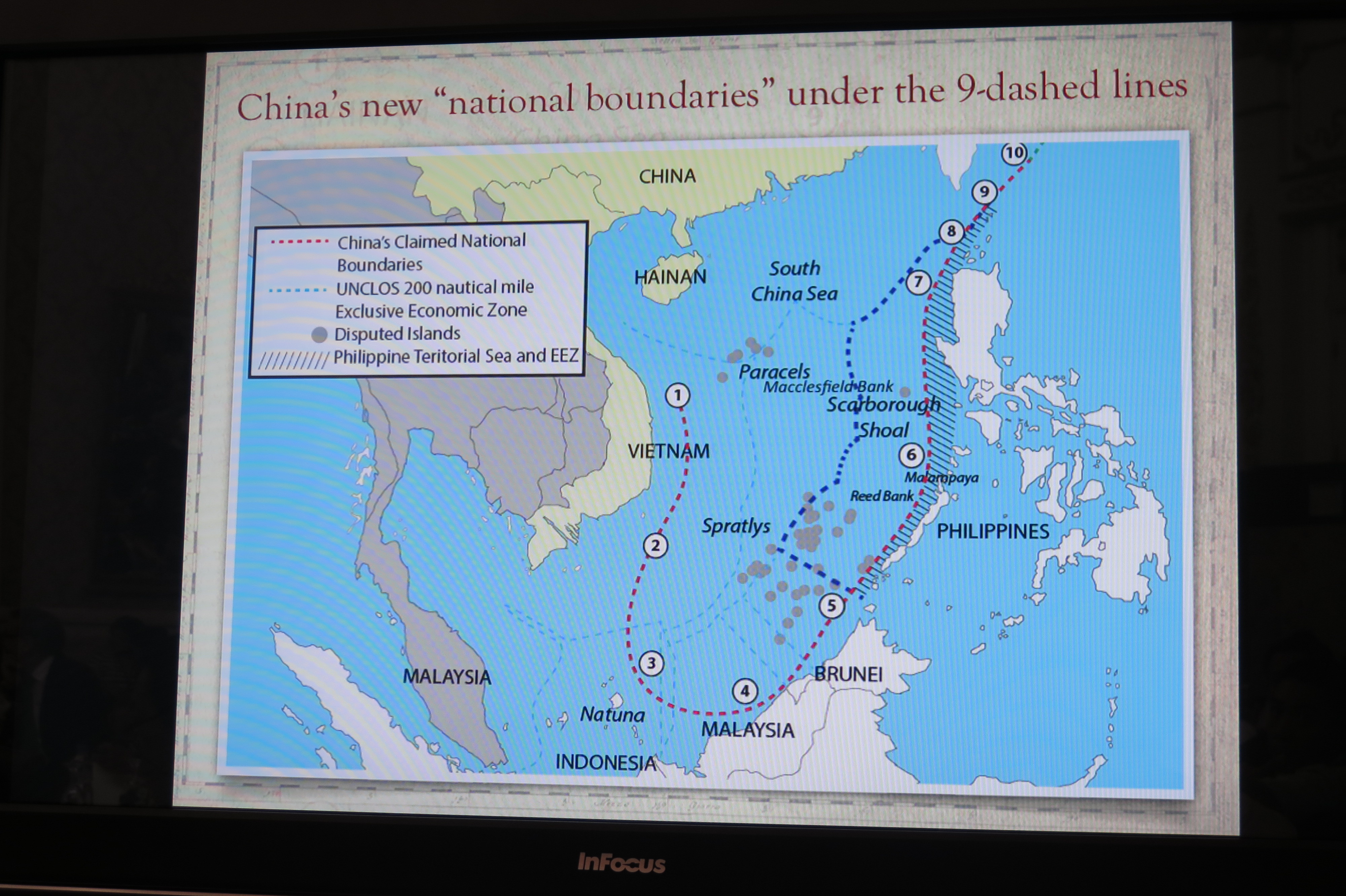
The map debunks the so-called nine-dash-line China has been using as proof of its claim over the South China Sea. It also locates Scarborough shoal, then known as “Panacot,” also called “Panatag” by Filipinos, off the shores of Luzon, then known as Nueva Castilla. Scarborough shoal has been a source of conflict between the Philippines and China.

Close up of Panacot (Panatag/Scarborough) Shoal in the Murillo Velarde map, presented by Justice Antonio Carpio at a lecture.
The Jesuit priest Pedro Murillo Velarde had the map published in Manila in 1734. It surfaced in 2012 among the possessions of a British lord, who put it up for auction at Sotheby’s in London, where Filipino businessman Mel Velarde bid and got it for £170,500 ($266,869.46 or P12,014,463.09).
The first certified true copy of the map has been reserved for Malacañang. Velarde will personally present it to President Aquino on June 12, the anniversary of Philippine independence.
How Velarde, president and chief executive officer of Information Technology-based Now Corporation, acquired the map that had lain among the treasures of one of England’s most prominent families for more than 200 years is like something out of the movies. In fact, the wizard Harry Potter even makes a cameo appearance in the story.
Velarde has yet to find out if he is related to the Jesuit priest, although a possible connection was one of the motives for his pursuit of the artifact.
Velarde said Supreme Court Justice Antonio Carpio, a long time friend, suggested to him sometime in October last year to bid for the Murillo Velarde map. Velarde said Carpio’s convincing line was: “You know, man, you’re a Velarde.”
Carpio, who has been conducting lectures debunking China’s claim of almost the entire South China Sea, calls the Murillo Velarde map the “Mother of all Philippine maps.”
Local public and private museums declined to take part in the Sotheby’s bid. The National Museum was interested but didn’t have the money, so the plan was for Velarde to buy the map and sell it later to the National Museum.

The Murillo Velarde map as it appears in a Sotheby’s flyer.
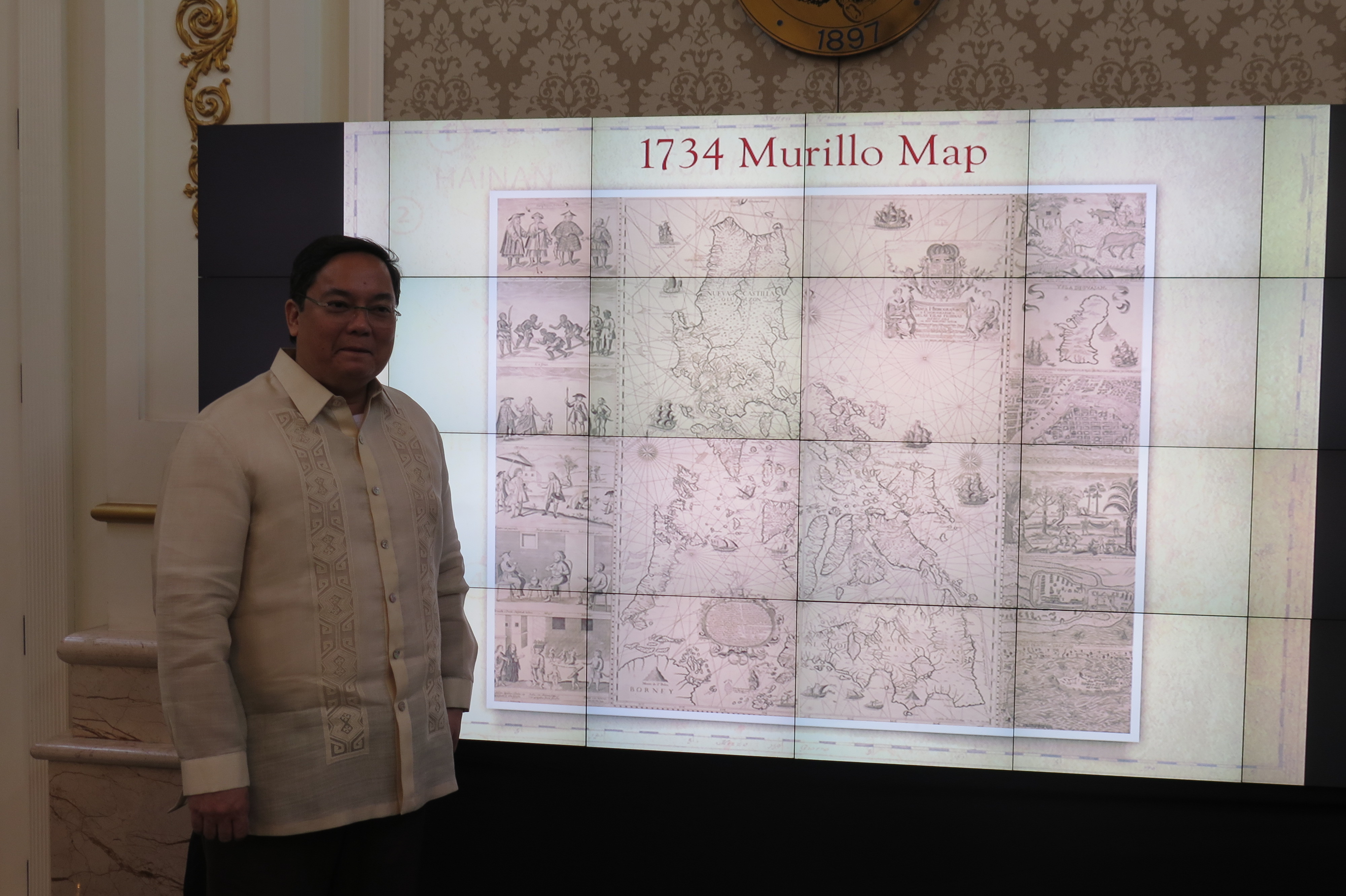
The Murillo Velarde map measures 1,120 by 1,200 mm. The Sotheby’s catalog carried a description of the map by Filipino historian and biographer Carlos Quirino: “Murillo Velarde’s map of the Philippines is a landmark in the depiction of the islands, and the first scientific map of the Philippines. It is flanked by two pasted-on side-panels with twelve engravings, eight depicting native costumed figures, a map of Guajam (Guam) and three city or harbour maps, notably Manila.”
The map was among 80 heirlooms that the current Duke of Northumberland, Ralph George Algernon Percy, decided to auction off after a devastating flood hit Northumberland County in April 2012.
Newspaper reports said heavy rains had “caused a culvert on the Duke of Northumberland’s land to collapse. Many residents were evacuated and some homes demolished after the foundations were damaged.”
Although the Duke’s estate did not own all the affected homes, he provided urgent help for his neighbors. The flood left him with a £12 million bill for repairs, hence the need to auction off his family’s collection.
As a bit of trivia, the Duke owns the vast Alnwick Castle, which has been featured as Hogwarts School of Witchcraft and Wizardry in the first two Harry Potter films.
Sotheby held the first auction on July 9, 2014 and the second on Nov. 4, 2014, both in London.
It was in the November auction that the Murillo Velarde map, called Carta Hydrographia y chorogphica de las Ylas Filipinas, Manila 1734, was included under Lot 183.
The Murillo Velarde map names two Filipinos as responsible for the map–Francisco Suarez who drew it and Nicolas de la Cruz Bagay who engraved it.

Full shot of the Murillo Velarde map.
Historian Ambeth Ocampo wrote in his column in the Philippine Daily Inquirer, “The Murillo Velarde map of 1734 is quite rare, with less than 50 known copies to exist in the entire universe.”
Velarde registered to participate in the auction through an agent. He had participated in auctions in person before but his acquisition of the map last November was his first bid by phone.
The Sotheby’s auction took place at 9 p.m, Manila time while Velarde was in a Resorts World steakhouse for his mother’s 78th birthday dinner.
Velarde described the bidding, which lasted only for three to four minutes, as “furious.”
He was on the phone before Sotheby’s put Lot 183 on the auction block, and noted that in other lots, it was over after two to three bids.
Bidding for the map started at £30,000. He started to bid through his agent, thinking that he could go as high as £80,000.
Velarde said he could hear “30,000 pounds,… 40,000 pounds… 50,000 pounds. Fifty-five, sixty.” He said, “It seemed like so many were bidding.”
When the bidding reached £80,000, Velarde said he paused for a few seconds to decide whether or not to stop. The exchange rate was P68 to £1. He knew that the National Museum could allot only P5 million to buy rare items.

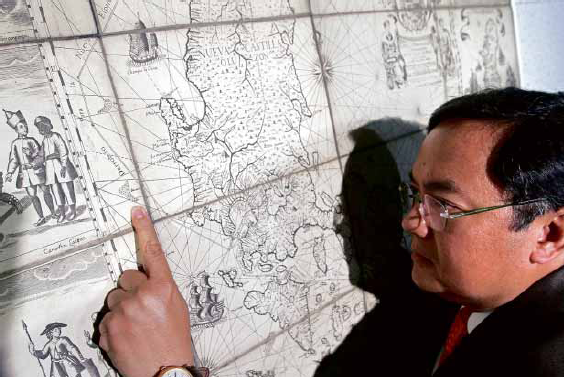
Businessman Mel Velardo looks at the reproduction of the 1734 Murillo map he now owns. Photo by Yvonne Chua.
Then images of the Chinese occupying the contested islands in the Spratlys came to mind, he said, and he decided to proceed.
“Pansariling away na, nagiging personal na sa akin (lt became a personal crusade),” he said. He eventually paid more than double the amount he thought he was willing to part with: £170,500.
When you buy a car, Velarde said, you have something to compare it with. Not in the case of an old map. But Velarde also thought of the possible implications later, knowing that there is a pending case before the U.N. International Tribunal on the Law of the Sea against China. “You need some evidence,” he said.
Velarde said he is thankful the auction was not held in Shanghai or Macau, where the map could have attracted Chinese bidders and the price would have been much higher.
Now that Velarde owns the map, the National Museum has informed him it has no funds to buy the map this year, and that there was some uncertainty about funds next year. Velarde decided to donate the map instead.
Why is he doing it?
“In a true-to-life movie, there’s a part for everybody. There’s a bully in the neighborhood. He already took over our land. We have soldiers in the Spratlys. Naka-standby lang sila (They’re just on standby there),” Velarde said.

Businessman Mel Velarde. Photo by Yvonne Chua.
“Then, this map is owned by a Duke in a Harry Potter castle. It’s like you wanting to play your part in the movie,” he added.
Velarde said he hopes to meet with the Duke of Northumberland someday. His nieces want to come along, not really for the Duke, who comes from a 700-year-old English aristocracy and is the fourth largest landowner in the United Kingdom. They are excited to see the room where Harry Potter had his first flying lessons.
(VERA Files is put out by veteran journalists taking a deeper look at current issues. Vera is Latin for “true.”)
June 08, 2015

Mel Velarde, a Filipino Tech Executive and Businessman bought a 300 year old map that clearly debunks the 9-dash-line claim of China on the Scarborough Shoal. Velarde was able to acquire the map through an auction in Sotheby’s in London for a whopping 12 million pesos.
“Pansariling away na, nagiging personal na sa akin.” -Mel Velarde, CEO, Now Corp.
Velarde is scheduled to give the map to President Aquino on our upcoming Independence Day, June 12. The PH government will, in turn, submit the map to UN to bolster their case against China. Velarde was initially supposed to sell it to the PH National Museum for half the price he got it but he eventually decided to just donate it.
The map was made in 1734 by Jesuit priest Pedro Murillo Velarde (relationship with businessman is unconfirmed yet). It’s apparently the oldest map of the Philippines and is considered to be the “Mother of all Philippine maps” by historians such as Ambeth Ocampo and Supreme Court Justice Antonio Carpio.
For a man who relies on favorable odds to remain in business, the fact that the “Mother of all Philippine maps” was auctioned off at Sotheby’s London on his mother’s birthday sounded propitious enough.
And so it was, although the P5 million businessman Mel Velasco Velarde had been prepared to cough up for the 1734 Murillo Velarde map soared to the final hammer price of P12 million after some furious bidding at that Nov. 4, 2014 auction.
For the chief executive officer of the international digital technology company Now Corp. and chair of the Asian Institute of Journalism and Communication (AIJC) who prides himself on being the top taxpayer in 2009, “it was still a lot of money,” but a paltry sum considering the map’s historical, aesthetic and cartographic value.
Published in Manila in 1734, “Carta hydrographica y chorographica de las Islas Filipinas” was prepared by the Jesuit friar Pedro Murillo Velarde, and drawn and engraved by indios Francisco Suarez and Nicolas de la Cruz Bagay, respectively. When it came out, the map was universally hailed for its faithfulness to detail at a time when drones, GPS and satellites were yet unheard of.
Before Google Earth
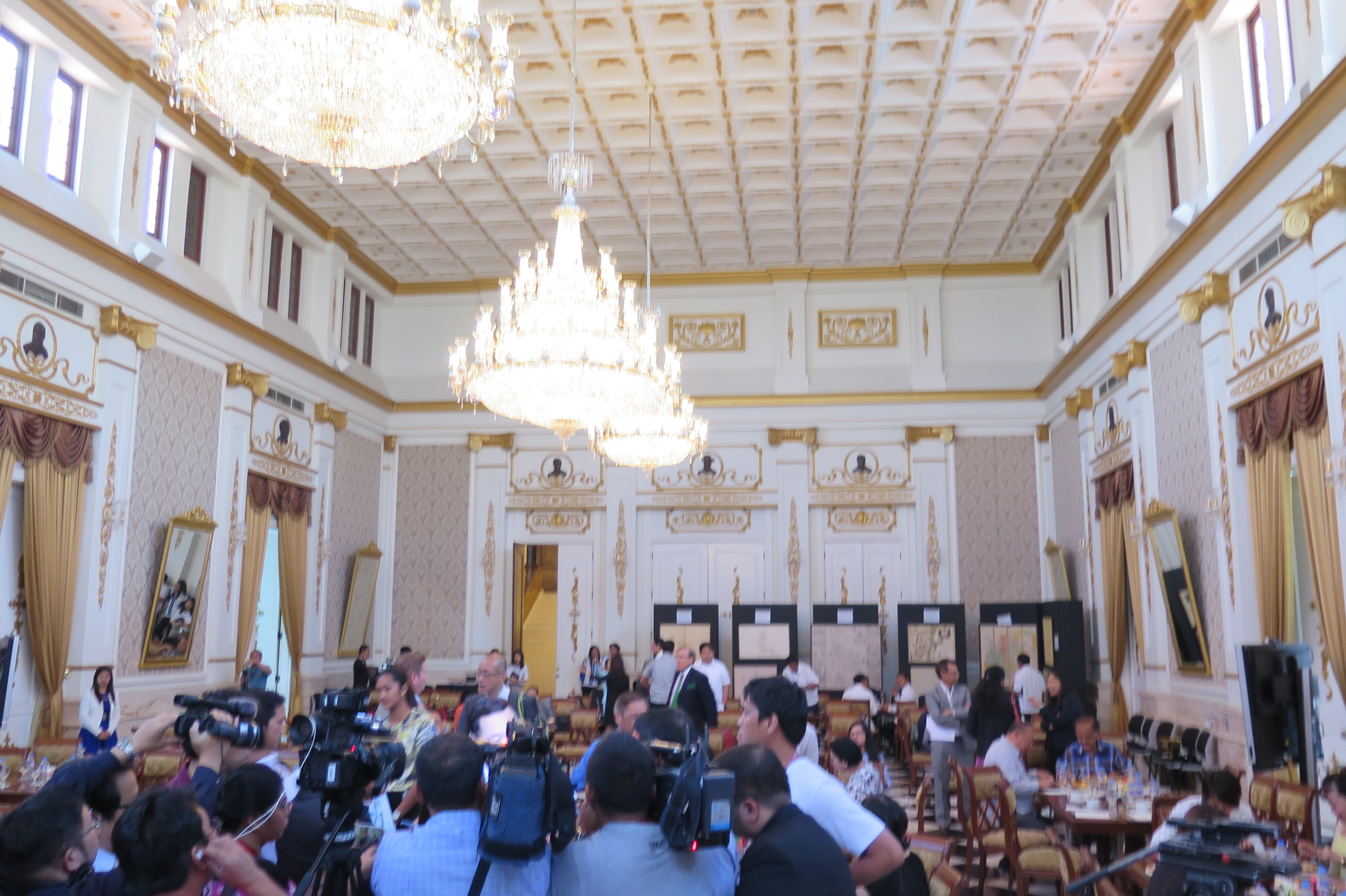
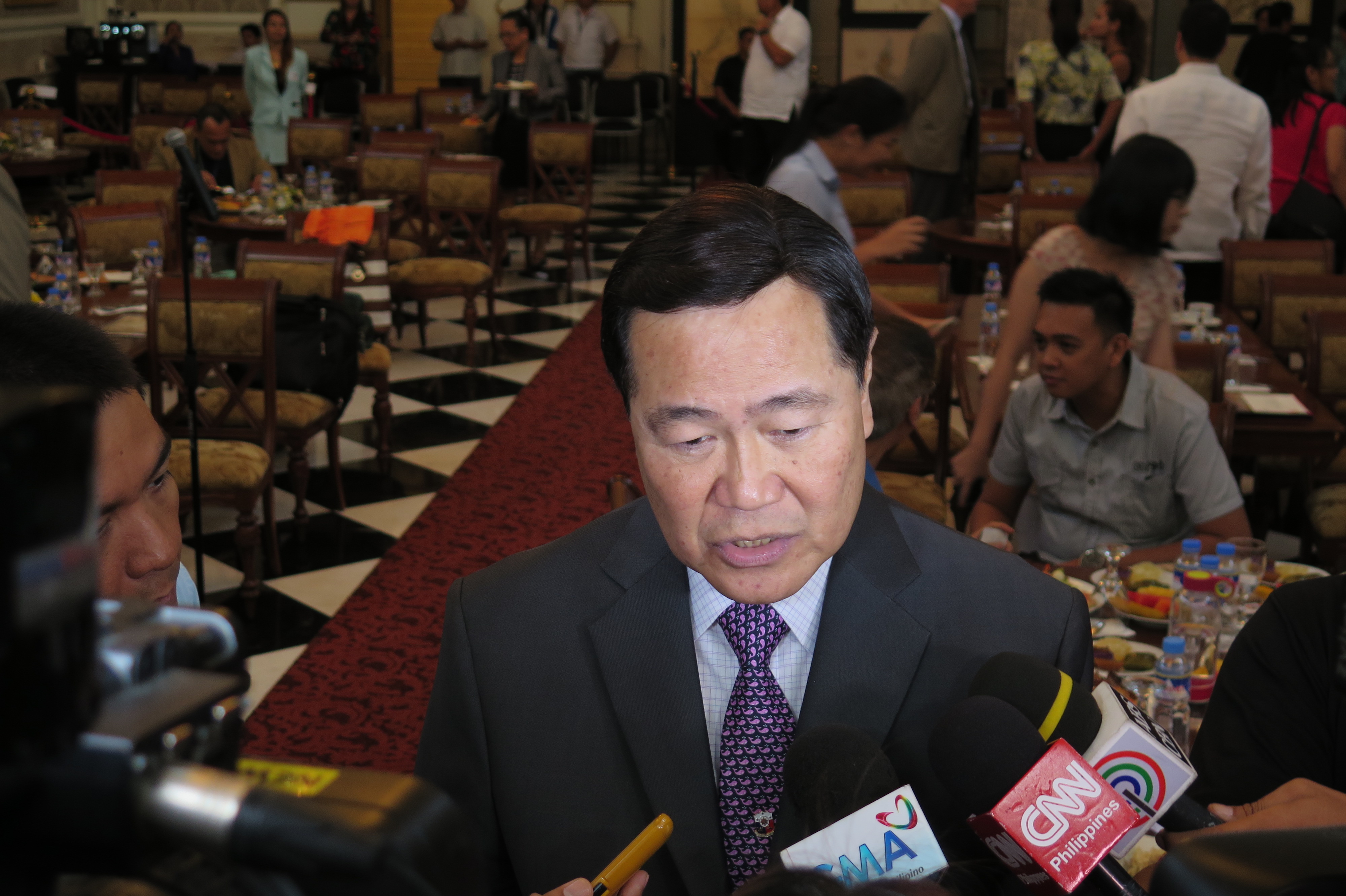
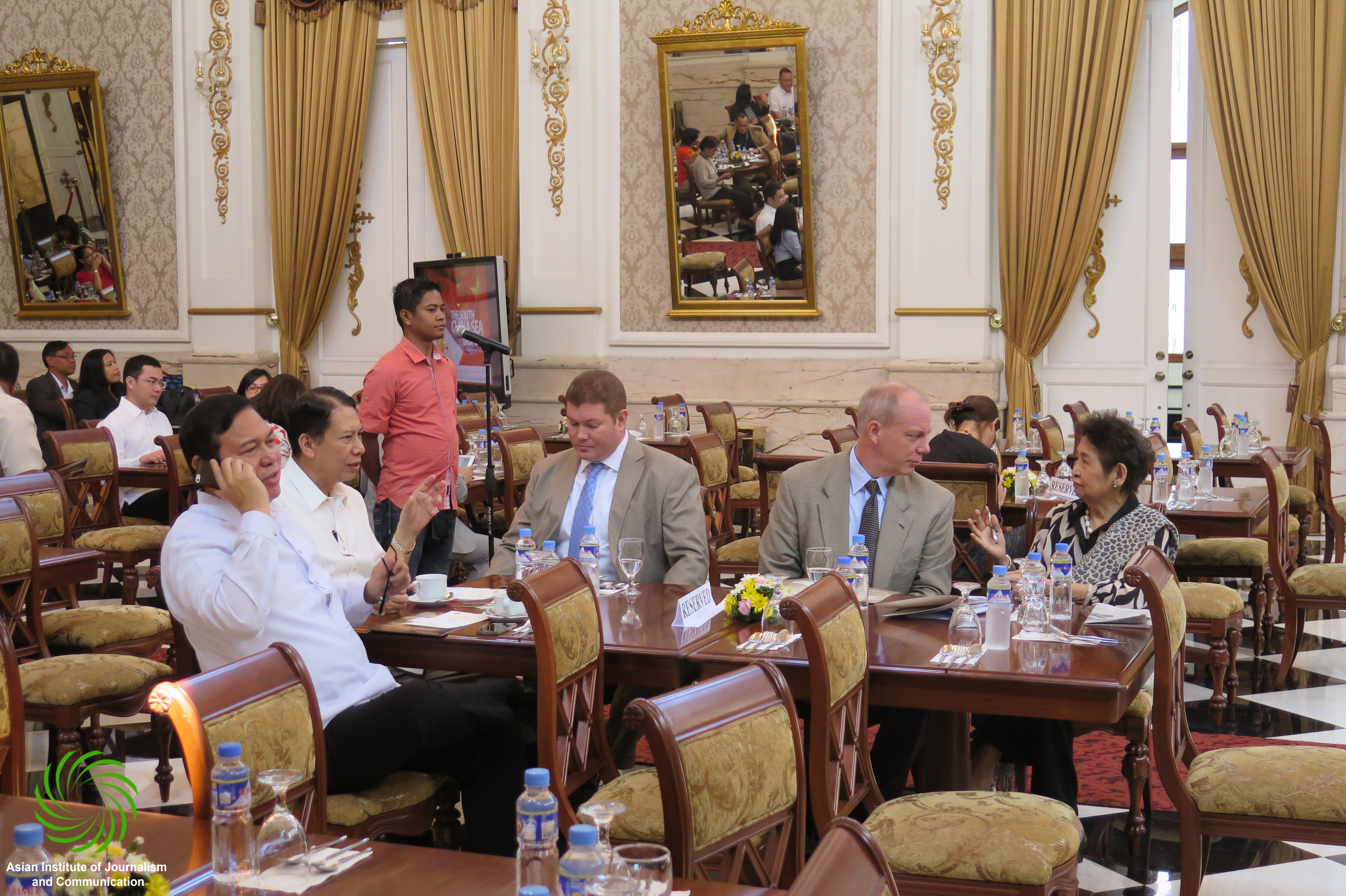
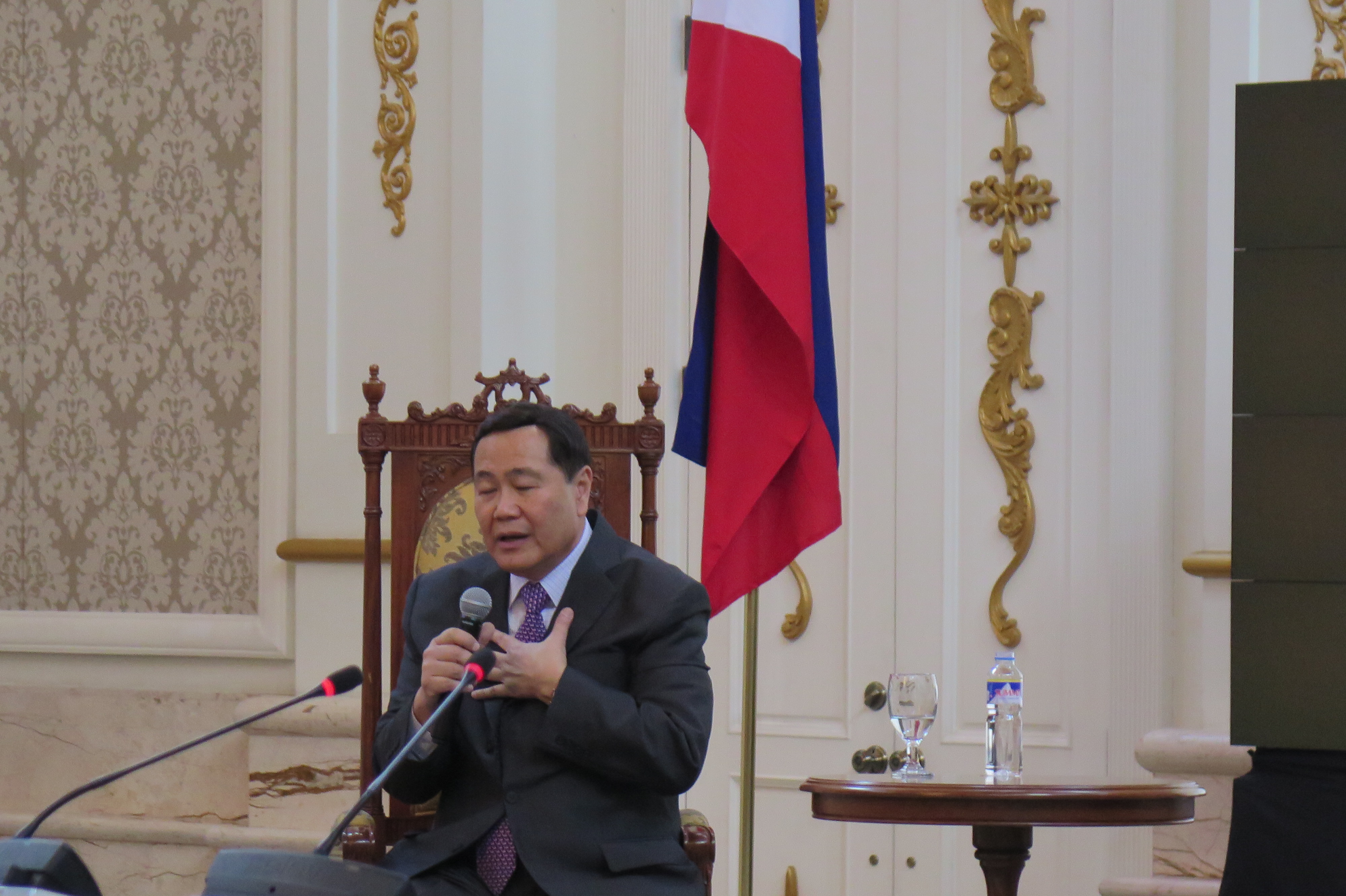
“It became a sensation in Europe because it was very detailed,” said Supreme Court Senior Associate Justice Antonio Carpio during a recent AIJC forum on the maritime dispute in the South China Sea.
“It was the advance party for Google Earth,” Carpio added.
Former Education and Culture Minister Jaime Laya described the 1.2-x-1.5-meter map as “the Holy Grail of Philippine cartography,” as it did not only trace the maritime routes from Manila to Spain and Mexico, but also had 12 panels, six on each side, that showed the ethnic groups in the Philippines in the 18th century, the country’s fauna and flora, as well as the interior topography of colonial Manila.
Its most valuable and relevant feature, however, lies on the map’s upper left section, west of the coastline of Luzon: the cluster of land mass called “Bajo de Masinloc” and “Panacot,” what is now known as Panatag or Scarborough Shoal, which is irrefutable proof that as early as the 1700s, the disputed shoal has been part of the Philippine territory, Velarde said.
Concocted nine-dash line
“As Justice Carpio said in his lecture, none of the islands drawn in this Murrillo-Velarde map ever appeared on China’s maps since centuries ago—only in recent history when China concocted the nine-dash line,” the businessman said in an e-mail interview with the Inquirer.
That was why the jacked-up price was worth every cent, Velarde said. “If you have the money … what loss of value could haunt you forever, if the other party, say a Chinese businessman, won it for China?”
He added: “Ninety-five percent of my money comes from this nation. I wanted to contribute something back (beyond) cash.”
The map is also a collectible relic to the man who describes himself as a collector, “not of art pieces but of books: I have a library of more than 10,000 titles. You see, in the early ’80s, I worked for a bookstore in Glendale, where I got paid half in cash, half in books.”
Velarde, who named math and history as favorite subjects in his younger days; business and economics, “in (his) hungry days” now considers neuroscience his latest interest.
“I enjoy new sciences that debunk all forms of dogmas and falsehoods sprinkled in history, religion, morality, politics, philosophy, etc.,” he said, citing one of the “hundreds of compelling epiphanies embedded in the Murillo Velarde map.”
“The cartouches on the map showed realities of an (advanced) civilization even prior to Spanish times …. Ours was a civilization that possessed and manifested universal, nonculture specific values, showing that our ancestors had knowledge of right and wrong.”
New personal directions
Acquiring the map then became as much a personal goal as it was a business decision. “I’m in the technology business … and I endlessly admire the collaboration of skills and technology between Father Murillo Velarde and his team,” Velarde said.
He added: “At 50, I think the Murillo Velarde map revealed and signaled new personal directions for me—which is to use technology and the best it offers for education.”
Velarde recalled that he was in the middle of his “research on neuroscience, religion and morality,” when the map emerged in the air, thanks to Carpio who told him about the auction.
Carpio had approached several private museums about the possibility of them bidding for the map, but they cited lack of funds, so the justice approached him, Velarde said. Their deal was that the businessman would pay the winning bid—around P5 million they had reckoned, from the stated starting bid of about P1.5 million—but that he would resell it at cost to the National Museum once that agency had the budget for it.
But with the hammer price settling at P12 million, Velarde knew there was no way he could get reimbursed for the amount. He would have to treat the map as a donation, a complete turnabout for what was once a war booty that the British carted off after their occupation of Manila from 1762 to 1764.
In what became known as the First Rape of Manila, the British looted the capital of valuable documents, including the copper plates of the Murillo Velarde map, which was why there were very few copies of it, Carpio said in the AIJC forum on Asia’s maritime dispute.
Harry Potter setting
The copper plates themselves were later melted down to be used by the British for their admiralty maps, Carpio added. For the next 250 years, the original map was kept by the duke of Northumberland in the Alnwick Castle, the same castle used as Hogwarts School of Witchcraft and Wizardry in two Harry Potter movies.
“I think it now has the force of the Hogwarts school,” Carpio said in jest.
It was a joke that Velarde might have taken seriously, considering his other plans for the map that, in the meantime, stays with Sotheby’s in London as a matter of convenience, should the International Tribunal for the Law of the Sea, located at The Hague, need it during the hearings.
Donating the map to the National Museum is a done deal, Velarde said, the only condition being that “the government would take care of it and allow anyone to see it, to help explain its value and our incontrovertible ownership of every inch of these islands.”
The man has grander plans beyond the donation. “Let me tell you, every Chinese child since 1935 was taught in school that these contested islands were owned by China for centuries … We must match the indoctrination, propaganda and brainwashing of their youth with our own truth seeking and truth dissemination among our youth. A P12-million map without the accompanying follow-through programs would make that map a mere wallpaper!”
Grand reunion
Among the planned events is “a grand reunion of 17th century towns and cities included in the Murillo Velarde map this coming July … with local governments or schools that show active participation in our projects targeted to receive a life-size certified copy of the map.”
A website, www.murillovelardemap.com, would also be launched, while plans to donate copies of the map with accompanying educational materials to all schools, cities and municipalities are being fine-tuned.
Updating the map is an option as well. “We want to produce a 21st century digital map using the latest technologies … to add new icons, like the tarsiers in Bohol, the rodent fossils found in Callao Cave in Cagayan, and so on,” Velarde said.
“Being a former Unesco commissioner for eight years and chair of the Committee on Science and Technology, I hope the map of Murillo Velarde would rekindle our patriotism and vigilance,” Velarde said. TVJ
http://globalnation.inquirer.net/124287/mother-of-all-ph-maps-coming-home#ixzz3cLeoAZaP
by Jaime Laya
December 8, 2014
http://www.mb.com.ph/a-fraile-and-two-indios-tagalos-create-a-map/


