President Ferdinand R. Marcos Jr. declared in his second State of the Nation Address (SONA) that the Philippine government will continue upholding its sovereign rights and preserving territorial integrity.
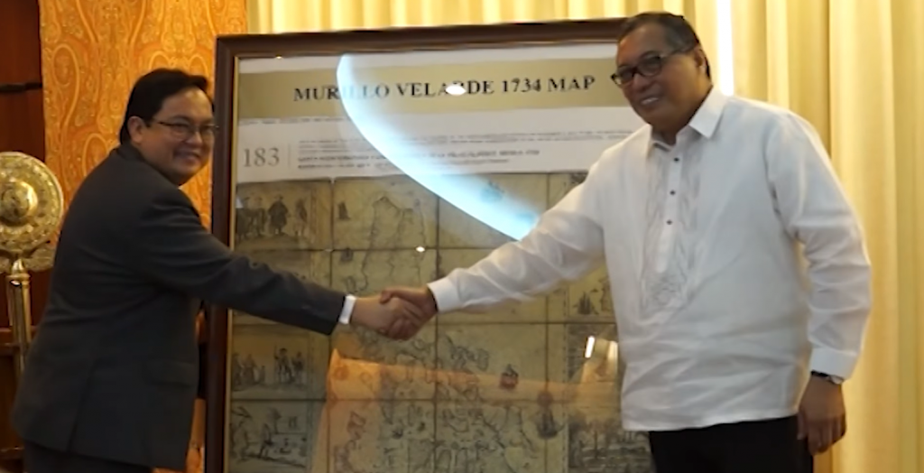
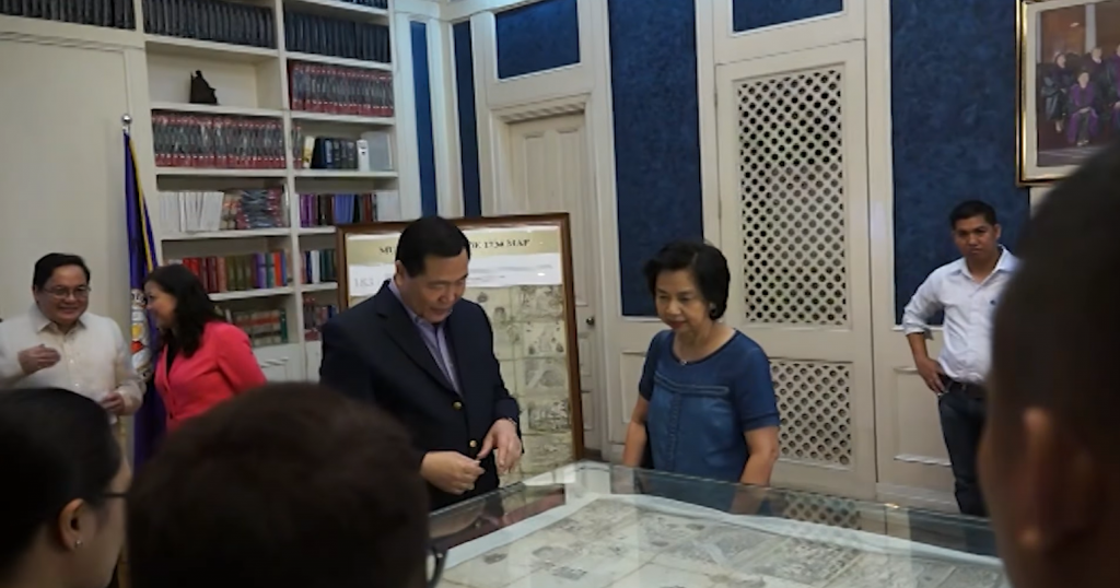
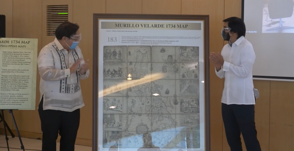
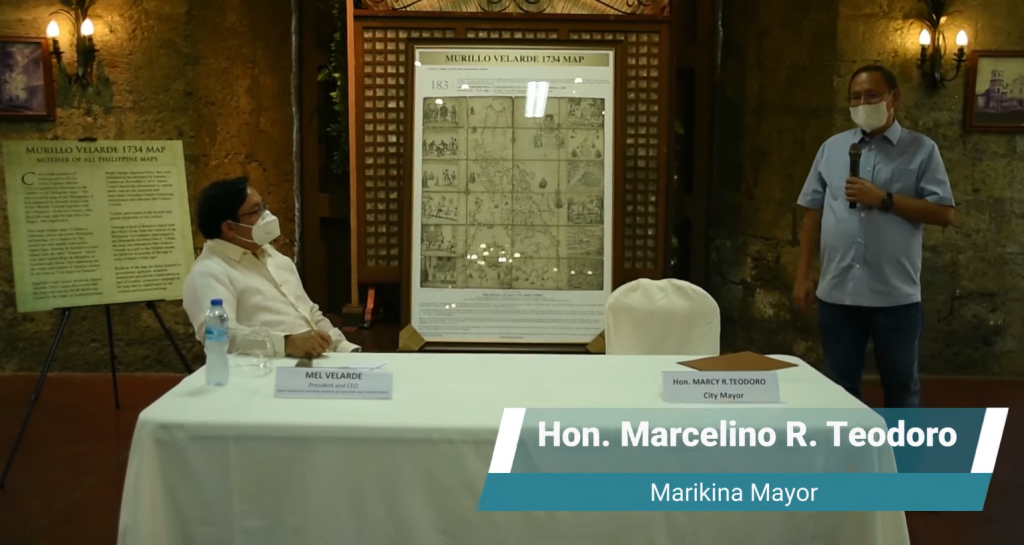
Murillo Velarde 1734 Map: The MOTHER of all Philippine MAPS. This our First Land Title as a nation. According to Philippine Supreme Court Senior Associate Justice Antonio T. Carpio: “Scarborough Shoal is part of the Philippine Territory.” Therefore, our maritime and territorial rights must be defended and protected.
World should fear Beijing’s claims to South China Sea. The question of it escalating to something beyond everybody’s control should be at the top of the minds of all world leaders.
The South China Sea Dispute – An Update, Lecture Delivered on April 23, 2015 at a forum sponsored by the Bureau of Treasury and the Asian Institute of Journalism and Communications at the Ayuntamiento de Manila.
The Philippines affirms that commitment in the South China Sea in accordance with UNCLOS and the 2016 Arbitral Award. The Award is now part of international law, beyond compromise and beyond the reach of passing governments to dilute, diminish or abandon. We firmly reject attempts to undermine it.