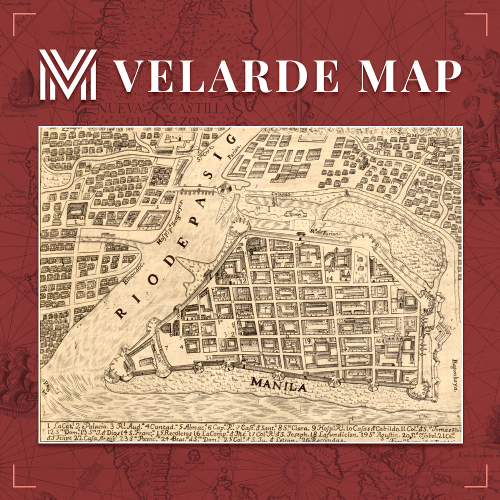
Rio De Pasig

The Pasig River in Manila flows into Manila Bay from Laguna de Bay, the Philippines’ largest lake. It streams north-northwest through Pasig, bisecting Manila, before entering the bay between the north and south ports. It is 14 miles long (23 km). During the Spanish colonial era, the wharves and quays near the river’s mouth served the early interisland commerce. At the time, the Pasig River was home to a vast population of barge and raft dwellers. The shallow, slow-moving creek is presently spanned by nine bridges. It is passable by small ships, but its harbor services have diminished.
This vignette of the Carta Hydrographica y Chorographica de las Yslas Filipinas or the Murillo Velarde 1734 Map exhibits Rio de Pasig, visually interpreted by the Spanish Jesuit priest, Padre Pedro Murillo Velarde.

