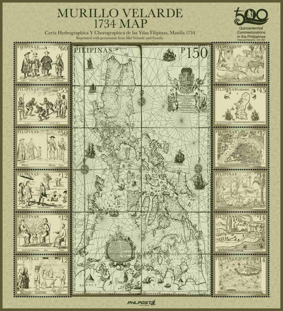
One does not need to be a stamp collector to appreciate the new postage stamp unveiled by the Philippine Postal Corporation (PHLPost), which features the “Mother of all Philippine Maps.”
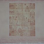
The first scientific map of the Philippines, the “Carta Hydrographica y Chorographica de las Yslas Filipinas Manila 1734,” also known as the Murillo Velarde 1734 Map was prepared by Spanish Jesuit cartographer Father Pedro Murillo Velarde together with two Filipinos–engraver Francisco Suarez and artist Nicolas dela Cruz Bagay.
It was acquired by Mel Velasco Velarde, Chairman of the Asian Institute of Journalism and Communication (AIJC) and the NOW Group, through a Sotheby’s auction in London in 2014. Velarde donated the map to the Philippine government through a deed of donation.
Now, citizens can get their hands on this significant artifact in the form of a stamp.
On March 16, PHLPost honored Philippine history and heritage through the launch of the stamp featuring the Murillo Velarde 1734 Map. It was held at the Philippine Postal Corporation Building in Liwasang Bonifacio, Manila.
Hon. Norman N. Fulgencio, Postmaster General and CEO of PHLPost, expressed his appreciation to the Velarde family: “We are honored to be given by the Velarde family the opportunity to issue this souvenir sheet.” He said the launch of the stamp was organized in commemoration of the 500th anniversary of the Philippines’ role in the first circumnavigation of the world.
In his message during the ceremony, Velarde thanked PHLPost for bringing the map closer to the Filipino people. He added, “Today, PHLPost is telling the world that we are one nation deserving of our self-worth and respect, for we are evolving as cultural leaders of this blossoming single global community of man.”
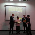
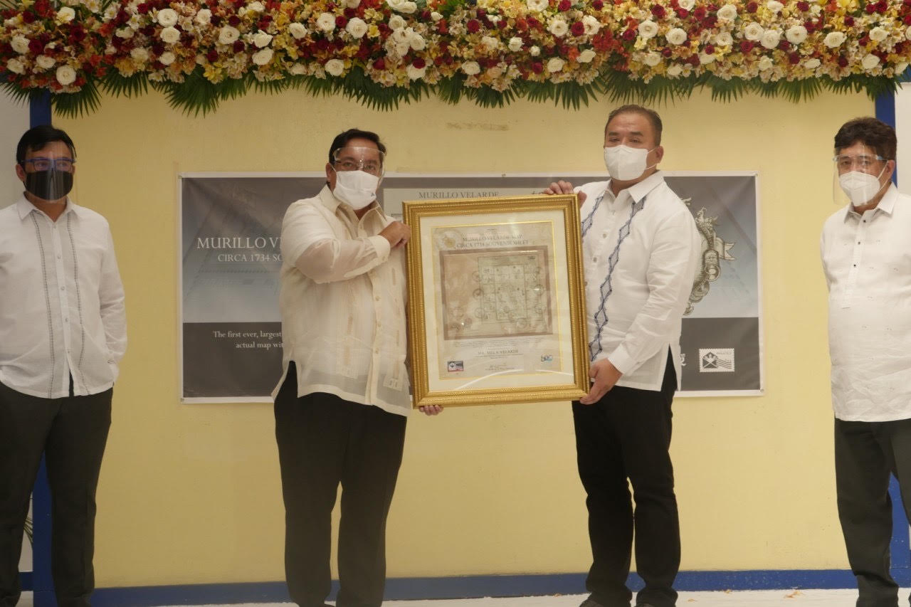
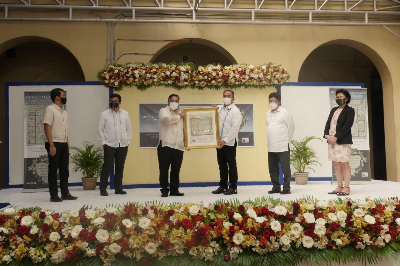
The Murillo Velarde 1734 Map stamp was presented to the Velarde family during the ceremony. Accepting the plaque were Velarde, Vivian F. Salinas, and their 3-month-old baby, Victor Chriscien S. Velarde.
The Murillo Velarde 1734 Map shows the entire Philippine archipelago. It is flanked by two pasted-on side-panels with 12 engravings—intricate illustrations of the early Filipino people and their way of life during the 18th century.
The map was cited as evidence in the maritime case at the UN Arbitral Tribunal under the UN Convention on the Law of the Sea (UNCLOS). It may be used as a visual representation of the country’s sovereign territorial rights.
Launch of the Murillo Velarde 1734 Map Postage Stamp, 16 March 2021
Hon. Norman N. Fulgencio, Postmaster General and CEO of PHLPost, and his wife Cherry DC. Fulgencio present the Murillo Velarde 1734 Map stamp to the Velarde family, who gave permission to PHLPost to reprint the map into stamps. Accepting the plaque were Mel Velasco Velarde, Vivian F. Salinas, and their 3-month-old baby, Victor Chriscien S. Velarde.
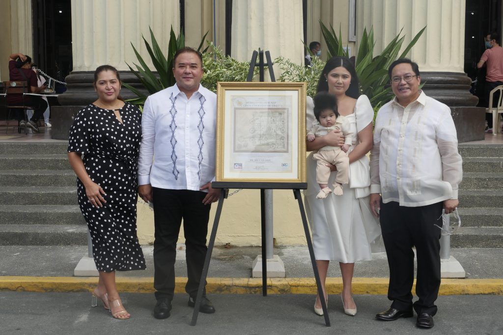
Postage stamp featuring the Murillo Velarde 1734 Map, the “Mother of all Philippine Maps”
Mel Velasco Velarde, Chairman of the Asian Institute of Journalism and Communication (AIJC) and the NOW Group
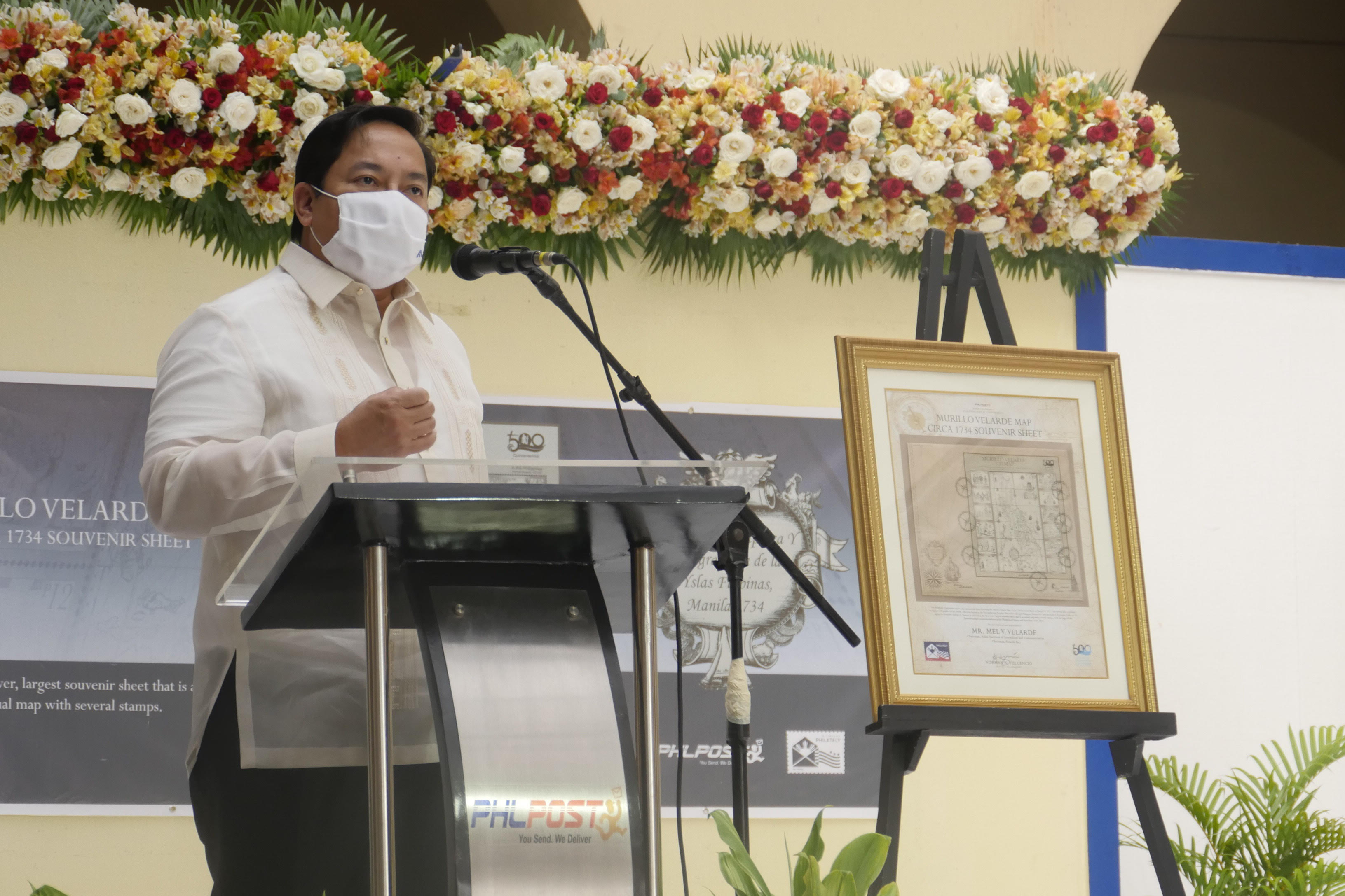
Unveiling of the postage stamp featuring the Murillo Velarde 1734 Map, March 16, 2021
(Left to right) Maximo C. Sta. Maria III, Asst. Postmaster General for Management Support Services; Mel Velasco Velarde, Chairman of the Asian Institute of Journalism and Communication (AIJC) and the NOW Group; Hon. Norman N. Fulgencio, Postmaster General and CEO of PHLPost; Engr. Joel L. Zamudio,Asst. Postmaster General for Operations
Unveiling of the postage stamp featuring the Murillo Velarde 1734 Map, March 16, 2021
(Left to right) Gilbert B. Javier, Director for Mega Manila, PHLPost; Maximo C. Sta. Maria III, Asst. Postmaster General for Management Support Services; Mel Velasco Velarde, Chairman of the Asian Institute of Journalism and Communication (AIJC) and the NOW Group; Hon. Norman N. Fulgencio, Postmaster General and CEO of PHLPost; Engr. Joel L. Zamudio,Asst. Postmaster General for Operations; Maura Baghari-Regis, Asst. Postmaster General for Administration and Finance
It would be 18th century references, like the 1734 Murillo Velarde map, that would debunk the “false history” China was spreading in its effort to claim Philippine territories, Supreme Court Senior Associate Justice Antonio Carpio said on Monday.
“We have to correct that because that’s the false history. And the way to do that is to present old maps, ancient maps, because they don’t lie,” Carpio said on GMA 7 news program “24 Oras”.
“We should be proud that we have the oldest map showing the Spratlys and the Scarborough shoal as part of Philippine territory,” he added.
The 17th century map played a significant role in the Philippines’ victory in its arbitral tribunal case against China.
It features the Bajo de Masinloc or Scarborough Shoal that was labelled as “Panacot”, as well as the “Los Bajos de Paragua” later known as the Spratlys islands.
“This map is very persuasive to support our claim on these territories, for the simple reason that when this map was made, there was no issue yet on who owned these islands,” added Atty. Felipe L. Gozon, Chairman and CEO of GMA Network Inc. – the first and only media company to receive an official replica of the artifact.
It was purchased for P12 million by businessman and educator Mel Velarde, who also chairs the Asian Institute of Journalism and Communication.
“What they produce is, it’s really the Google Earth of the 17th century. Plus, there are vignettes here that show you pictures of the life of the Indios and the Europeans and the Asians here in the Philippine islands during that time,” so each part of this map really has a story to tell,” Velarde said.
Velarde donated the 300-year-old map to the government. It will soon be on public display at the Manila-Acapulco Galleon Museum in Pasay City.
Velarde, together with Carpio, turned the official replica over to GMA Network. — Margaret Claire Layug/DVM, GMA News


