Velarde Map Explained
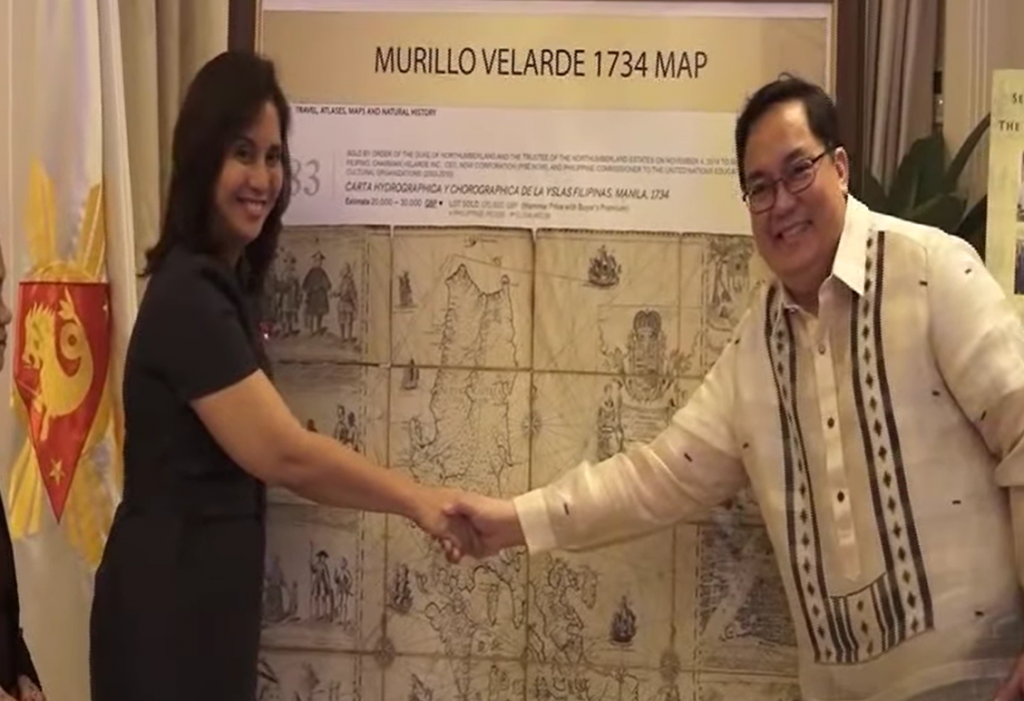
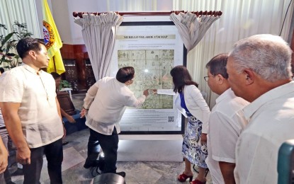
The Carta Hydrographica y Chorographica de las Yslas Filipinas, first published in Manila in 1734, was created by the Spanish Jesuit Father Pedro Murillo Velarde along with two Filipinos — Francisco Suarez, who drew the map, and Nicolas dela Cruz Bagay, who engraved it. This was the first scientific map of the entire Philippine archipelago, measuring 1120mm x 1200mm.
The map shows the archipelago with two panels, each containing six vignettes depicting scenes of people and places in the country.
Included in the archipelago’s features is a small island named “Panacot,” later known as Bajo de Masinloc or Scarborough Shoal. The rocks and islands of the Spratlys are also shown, labeled on the map as “Los Bajos de Paragua.” This map was one of the eighty heirlooms owned by the Duke of Northumberland, Ralph George Algernon Percy, and was auctioned by Sotheby’s in London on November 4, 2014.
The 1734 Murillo Velarde Map was one of the 270 ancient maps referenced in the hearing of the Permanent Court of Arbitration (PCA) at The Hague in the Netherlands when the Philippines contested China’s claim to the West Philippine Sea. In 2016, the PCA court declared China’s claims unfounded and invalid.
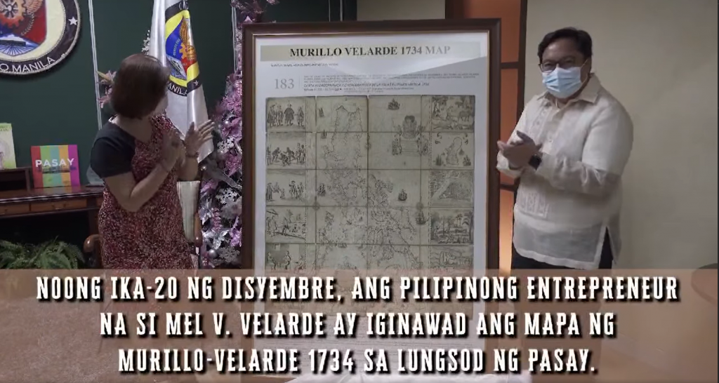
The map was won by a technology entrepreneur, Mel V. Velarde. According to Velarde, replicas of the map will be distributed to each town in the Philippines as a gift to every Filipino.
Most recent articles
Let's Stay in Touch
Join. Be counted.
